
Ladakh is integral to India and Chinese denial changes nothing: MEA
India rejected Beijing's objections over the standardisation of 28 geographical names in Ladakh, asserting the territory's sovereign status.
News Desk · · 1 min read
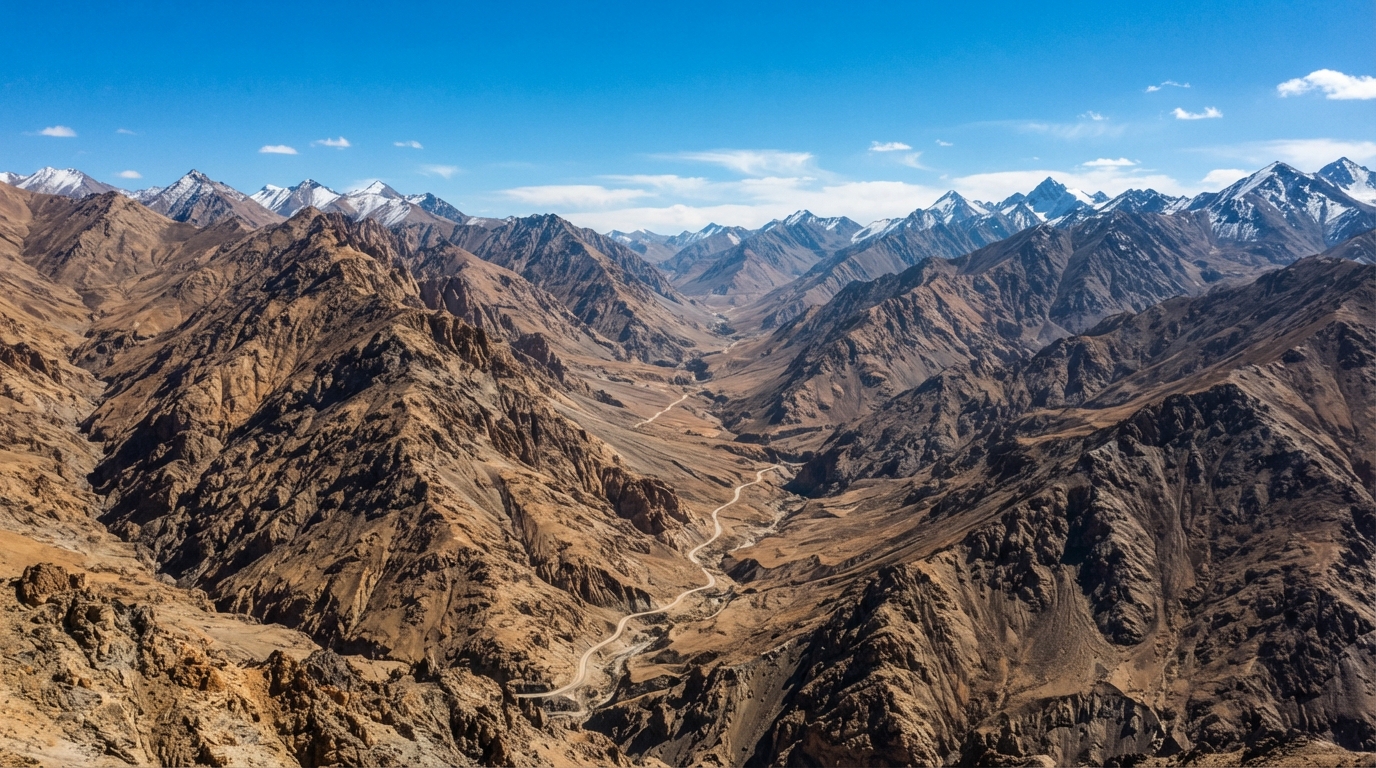

The Ministry of External Affairs stated on Tuesday that the Union Territory of Ladakh remains an integral and inalienable part of India, responding firmly to objections raised by Beijing over recent cartographic updates. Ministry spokesperson Randhir Jaiswal emphasized that no amount of diplomatic denial from the Chinese side can alter established geographical and political facts.
The sharp exchange followed an announcement by the Union Ministry of Home Affairs on October 2, which formally identified 28 locations and physical features across Ladakh using standard names on official Survey of India maps. The updated list incorporates specific peaks, passes, land areas, and water bodies, including sensitive boundary sectors such as Gogra and Hot Spring.
Chinese Foreign Ministry spokesperson Mao Ning earlier contested the update during a media briefing, claiming that Beijing has never recognized the Union Territory of Ladakh and describing the naming initiative as illegal and void. The foreign ministry in Beijing asserted that the western sector of the boundary belongs to China.
Rejecting these assertions, the Indian administration clarified that the mapping exercise was executed in direct consultation with the Ladakh Union Territory administration and local stakeholders. Officials maintained that assigning formal standard names on national maps is intended solely to facilitate accurate recognition and improve public awareness.
The newly designated points span multiple terrain categories, featuring 11 mountain peaks, five mountains, six land areas, two glaciers, two mountain passes, a valley, a river, a lake, and a water body. Among them are strategic reference points like Dehra Compass in Aksai Chin, alongside historical figures and local geographical landmarks.
Both nations have maintained rigid stances on border cartography following prolonged military friction along the Line of Actual Control. New Delhi continues to assert full administrative jurisdiction over the entirety of Ladakh, rejecting external protests regarding internal territorial organization and mapping protocols.